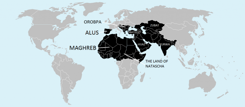
Datei:MapOfISIS.png

| |
Diese Datei steht unter einer der vielen Creative-Commons-Lizenzen. Heute ist es die
Namensnennung − Weitergabe unter gleichen Bedingungen 3.0 (CC BY-SA 3.0)
|
Quelle: BlankMap-World-v2.png bei den Wikimedia Commons
Autor: Roke
[Old (v.2)] The world with borders (2005); to facilitate identification and colorising, microstates and island nations are represented as circles.
Map marking the microstates for reference (the map is a slightly different version, but the locations of most of the small states are the same) map from wikipedia, summary there: A blank map of the world as of 2005, with country outlines. Sovereign microstates less than 2 500 km² in area are depicted as circles (see Wikipedia:Image_talk:BlankMap-World-v2.png for listing). The map uses the Robinson projection centered on the Greenwich Prime Meridian.
Dateiversionen
Klicke auf einen Zeitpunkt, um diese Version zu laden.
| Version vom | Vorschaubild | Maße | Benutzer | Kommentar | |
|---|---|---|---|---|---|
| aktuell | 11:33, 12. Nov. 2014 |  | 1.425 × 625 (45 KB) | Deathline18 (Diskussion | Beiträge) | {{CC|by-sa|3.0}} Quelle: BlankMap-World-v2.png bei den Wikimedia Commons<br /> Autor: Roke [Old (v.2)] The world with borders (2005); to facilitate identification and co… |
Dateiverwendung
Die folgende Seite verwendet diese Datei: